
Line Creek Nature Area: Pond Path or Creek Trail in Peachtree City? |
Choose a route for your footing, available time and interest in the water |
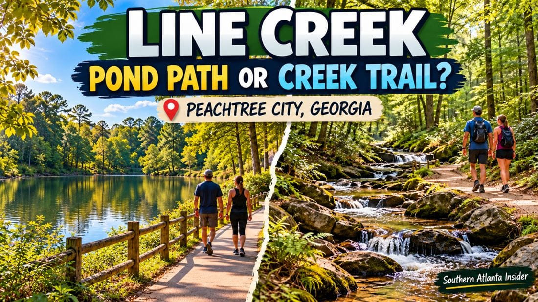
Line Creek pond trail: a small starting pointLine Creek Nature Area gives Peachtree City walkers a choice between a compact pond-focused outing and longer paths toward the creek. Those plans should not be treated as interchangeable. A group seeking a brief outdoor pause may prefer to stay near the pond, while someone ready for uneven ground can consider a longer route after checking the map. The city's Line Creek trail map labels the Pond Trail at 0.2 miles and the Creek Trail at one mile. Those labels describe individual mapped routes; they do not automatically include every connection from your parking space. Trace your intended start and return before adding distances together. The Line Creek pond trail can be a useful first choice when the group's main goal is looking, talking and spending time outside. Decide whether you want a full route or simply an observation stop from an appropriate established place. Leave room for the slower pace of the person who most needs a manageable outing. 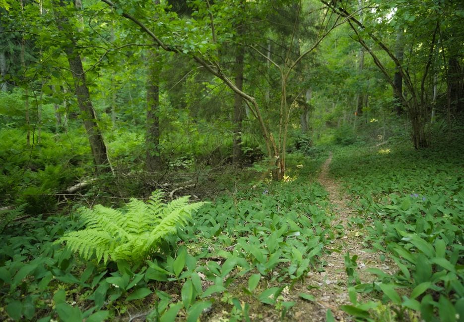 Read the Line Creek trail map before choosing a creek routeThe map also names Mule, Ridge, Wetland and Shoal trails. More choices can make an outing flexible, but they can also encourage unplanned extensions. Save the map at home, identify the junctions relevant to your plan and agree on a turnaround time before anyone suggests exploring another branch. At the entrance, compare the saved map with current signs. A published map is an orientation aid, not confirmation that every segment is open or unchanged. If signs differ, follow the current instructions. When a route decision is unclear, stop together rather than sending one person ahead to investigate. Think about the return as carefully as the outward walk. A viewpoint can feel close until the group is tired or the footing becomes awkward. Choose a distance with room for breaks and avoid using sunset as your planned arrival back at the vehicle. Carry water and keep essential supplies accessible. Peachtree City creek walk: surfaces and access matterThe city's Line Creek facility page describes unpaved hiking trails and identifies some areas near the parking, restroom and pond as accessible. That is a narrower statement than declaring the whole network accessible. Ask the city about current conditions when a specific surface or facility is essential. A Peachtree City creek walk should be planned around comfortable footing rather than photographs of dramatic rocks. Observe moving water from established places, keep children close and avoid stepping into the creek for a better picture. A creekside destination does not require climbing or entering the water to be worthwhile. The city lists sunrise-to-sunset hours and requires dogs to remain leashed. If bringing a dog, consider the group's pace and space needed for passing other visitors. Pack cleanup supplies and keep the dog with its handler at junctions. A nature visit works best when everyone can share the route comfortably. 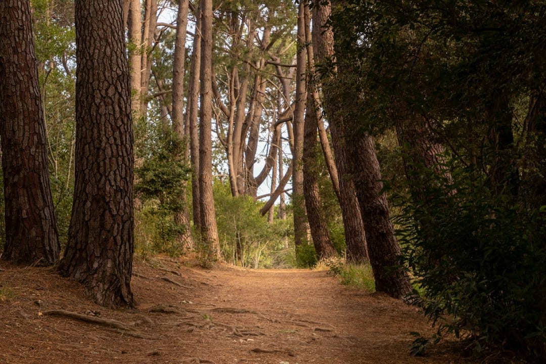 Find the entrance and keep the first outing simpleThe entrance is on Line Creek Drive, off Highway 54 near MacDuff Parkway. Use the city's directions rather than assuming a nearby shopping-center address identifies the trailhead. Agree on the exact meeting point with anyone arriving separately and check signs before unloading a group. For a broader look at the city's connected routes, see our Peachtree City shared-path guide. If your group prefers a lake-oriented stop, our Lake McIntosh family visit offers another setting with its own access details. Choose one route for the first visit and notice whether its surface, pace and stopping places suit your group. That information is more useful for a return than a total mileage score. You can always explore another mapped path later, with a clearer sense of what makes the outing enjoyable.
For more local outing ideas, explore our guide to things to do in Peachtree City, GA. |
0 Comments
Join the conversation
Be the first to comment
Share your thoughts above.