
Walking Peachtree City’s Shared Paths: A First-Visitor Planning Guide |
Choose a short route and prepare for a network shared with bicycles and motorized carts |
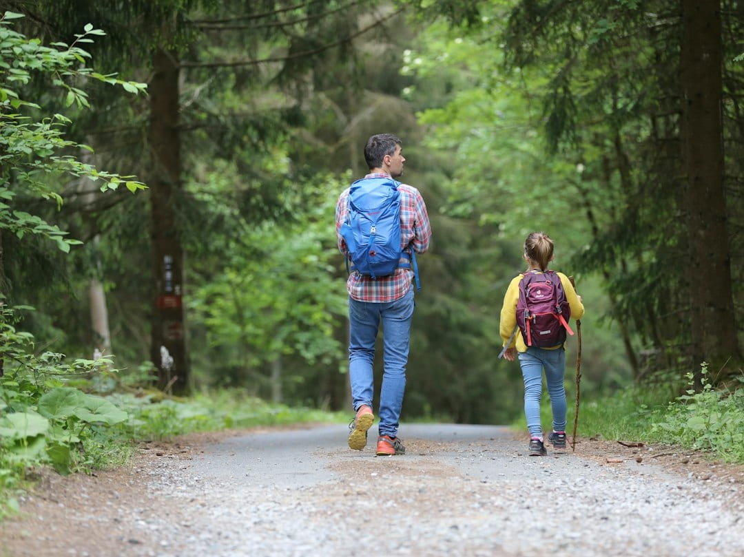
Peachtree City shared pathsPeachtree City shared paths need a specific walking plan rather than an open-ended route. Peachtree City’s shared-use paths can make a walk feel different from a conventional park loop. They connect destinations throughout the city, so a first outing benefits from choosing a specific start and return point. The city’s shared-use path page for Peachtree City shared paths describes a network of more than 100 miles and provides a current interactive system map. That scale creates possibilities, but it also makes a vague instruction to “follow the path” an unhelpful plan. Use the city’s map resource to choose a manageable section before travelling. Identify where you expect to join the network, what you hope to reach and how you will return. Ask about appropriate visitor parking rather than assuming a residential street or a business lot is available for your outing. Keep a saved reference for the route if your phone connection becomes unreliable. Plan for a shared transportation settingThe paths serve pedestrians, bicycles and motorized carts. That means a quiet-looking stretch can still carry moving traffic. The Peachtree City Police path-safety page explains the city’s safety-program context and points readers toward its rules and registration resources. Review the official information relevant to your activity instead of relying on an old brochure or an informal description from a visitor. |
 Illustrative walking stock photograph; not a photograph of this Georgia park. Photo by Ron Lach on Pexels |
Peachtree City walking routeA Peachtree City walking route should include a manageable turnaround point. For a first walk, agree on a place or time to turn around. An out-and-back plan may be easier to follow than trying to complete an unfamiliar circuit. Do not assume that a nearby destination on a road map has a direct path connection. Confirm the actual route on the city’s system information and check signs as you go. At junctions, pause somewhere that gives others room to pass before consulting your map. Make a deliberate decision rather than letting the group split in different directions. If the route does not match expectations, return to a known point and reassess. A short successful walk can provide useful familiarity for another day. Keep companions aware of other usersDiscuss the shared setting with children before starting. Keep the group together and stay aware of people approaching from different directions. Avoid making a photograph, phone conversation or snack break an obstacle across the path. Choose stopping places where you can remain attentive without creating a bottleneck. People travelling at different speeds may need different plans. Someone interested in a leisurely walk should not feel pressured to match a companion seeking exercise. Agree on the pace and breaks before beginning, and keep essential belongings with the people who need them. Comfortable footwear, drinking water and forecast-appropriate clothing help make even a short outing easier. |
 Illustrative walking stock photograph; not a photograph of this Georgia park. Photo by 飞 谢 on Pexels |
Peachtree City path safetyPeachtree City path safety starts with awareness of everyone sharing the route. This guide is for pedestrians. If your household later chooses to drive a motorized cart, consult the city’s current cart rules, registration requirements and operator information separately. A useful walking route does not establish eligibility to drive or park a cart. Confirm those details through official resources before making arrangements with a rental provider or friends. For a visit centered on one park, compare our Lake McIntosh family visit. Readers considering another local path setting can use our Whitewater Creek first-visit guide, which explains the difference between a completed multi-use segment and a separate natural trail. Both offer different planning questions from navigating a citywide network. Finish with a clear returnFacts were checked October 5, 2026. Revisit official route resources, check current notices and leave comfortable daylight for the return. Share the exact starting location with anyone arriving separately. After the walk, note the junctions and distance that worked for your companions. That practical knowledge can make a second visit more relaxed than an ambitious first route chosen without enough preparation. |
0 Comments
Join the conversation
Be the first to comment
Share your thoughts above.