
International Park in Jonesboro: Plan a Walk Beyond the Waterpark |
Use the county trail map for a route-focused outing with clear parking and return points |
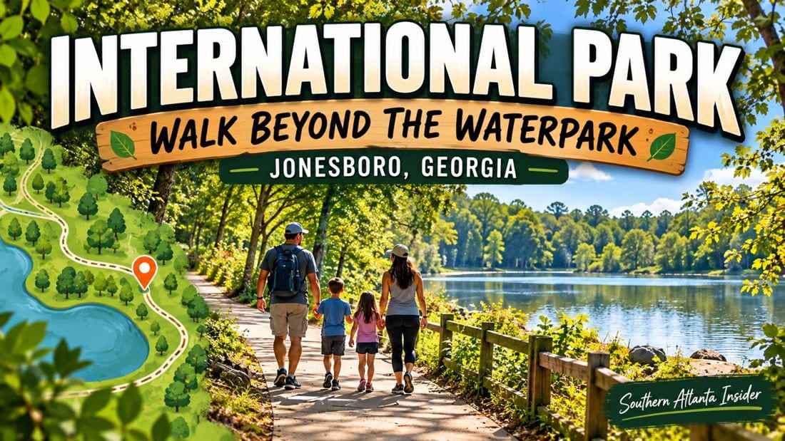
International Park Jonesboro walk: make the trail your destinationOctober 8 update: Clayton County announced county parks and recreation closures for October 10–11, with regular operations scheduled to resume Monday, October 12. Consult the official closure notice and later advisories before travelling. International Park in Jonesboro is often associated with waterpark outings, but the county also publishes a trail map for walkers. A route-focused visit needs its own plan. Choose where to begin, how far you want to go and where you will return, rather than assuming another attraction's entrance or schedule defines the walking experience. The International Park trail map identifies the park at 2300 Highway 138 S.E. and shows an all-purpose walking route with distance markers. Save the map before travel and use current signs to confirm the appropriate parking and starting point on arrival. An International Park Jonesboro walk can be deliberately short. If the purpose is conversation and fresh air, choose a manageable segment instead of making the full mapped circuit your automatic goal. Agree on a return time with your companions and allow room for breaks, photographs and a slower pace back.  Read the International Park trail map as a route, not a promiseThe map shows paths, parking and features that help orient a first visit. Use the lines and landmarks to understand your intended route, but do not treat every symbol as proof that a facility is open today. A restroom, pavilion or attraction shown on a map still needs a current access check if your plan depends on it. At the start, identify the place you will return to and the junctions where a wrong turn could change the outing. A photo of the entrance or parking marker can help a group meeting in separate vehicles. Share the same meeting point rather than sending everyone the park name alone. If you change the route, change the return plan together. One person's suggestion to explore a little farther can add more walking than someone else expected. Keep the group informed, avoid splitting up casually and stop to consult the map when the path no longer matches your expectation. Clayton County walking trails: keep the pace comfortableThe county's Get Fit Clayton information includes International Park among its walking-trail destinations and provides links to maps elsewhere in the county. That wider network makes it possible to choose a setting that fits your day instead of repeating the same outing automatically. Clayton County walking trails are most useful when the distance is matched to the people going. Bring drinking water, wear comfortable footwear and choose a pace at which everyone can ask for a break. If a particular surface, slope or facility is important, confirm it with the parks department before travel. Keep paths clear when stopping. Move to an appropriate place to take photographs or organize bags, and stay attentive to other users approaching from either direction. A shared public route is more enjoyable when each group leaves room for the next one to pass without an awkward negotiation.  Keep attraction access separate from trail planningDo not assume a walking outing includes entry to every attraction on the grounds. Waterpark operations, events and reserved spaces have their own arrangements. Check the current operator information before promising an activity, and keep the walk independent if those plans have not been confirmed. For a more woodland-focused outing, our Reynolds Nature Preserve guide offers a nearby regional alternative. Our Newman Wetlands boardwalk guide explains a quieter educational setting with distinct opening and surface details. Check their rules separately. Finish with a route that feels comfortable rather than a mileage target that has become work. Note the starting point, distance and breaks that suited the group. Those details make a return easier and leave you free to explore another part of the park on a day when time and interest allow.
For more local outing ideas, explore our guides to things to do in Jonesboro, GA, things to do in Morrow, GA, and things to do in Riverdale, GA. |
0 Comments
Join the conversation
Be the first to comment
Share your thoughts above.